

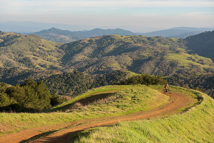
Odds are, if you’re looking to enhance your outdoor outings with a little real-time learning, there’s an app for that. But as anyone who’s test driven a not-so-hot tool can attest, not all apps are created equal. Plus, if you’re a novice like I am, you want to know that the information you’re getting is accurate! Fortunately for me, I work at a land trust in Silicon Valley. On any given work day, a posse of brainiacs is just a holler away. From scientific experts like biologists and geologists to professionals with talents in community building and map-making, ours is a truly stacked crew. What’s more, we’re an outdoorsy and tech-savvy bunch! Here are the apps that make our on-staff experts (and their smartphones!) light up when they’re out on the trail.
BIRDING

Merlin by Cornell Lab of Ornithology
Beloved by beginners and experienced birders alike, Merlin is an incredible app to help you identify birds. You can customize your results by location, including internationally (so handy when you’re on vacation!). Several staff praised its highly accurate Sound ID feature. The app takes in the bird calls around you and offers real-time suggestions for which species is singing. You can also identify birds by uploading photos or inputting tell-tale details like size or colors.
eBird
If you aim to keep track of your bird sightings, then this app is for you. It’s free and works on the go, even without wifi! Simply select your location and enter the birds you see. In addition to your personal log, you’ll contribute to a useful data set that others can use for scientific research, education and conservation. You can also discover birding hotspots by region, plus information about the fascinating species spotted nearby.
EARTHQUAKE INFO
MyShake
Developed by researchers at UC Berkeley’s Seismology Lab, this app enables citizen scientists to contribute data to a fascinating endeavor. The app detects moderate-to-large earthquakes early using cell phone sensors. It then issues early alerts to warn people nearby. If you’re a ways from the epicenter, you might feel your phone vibrate before your surroundings do! Though currently limited to the West Coast, MyShake may one day help bring earthquake alerts to other countries worldwide.
MOUNTAIN ID
Peakfinder
When you climb a steep trail and look out on the horizon, do you know the names of the far-off peaks? This app uses augmented reality to label the hills, ridges, mountains and other points of interest in your view. It offers a 360-degree panorama display. If you want to know every peak in your vicinity, you just hold up your phone and spin slowly around. It functions completely online in locations around the world.
PLANT & ANIMAL ID
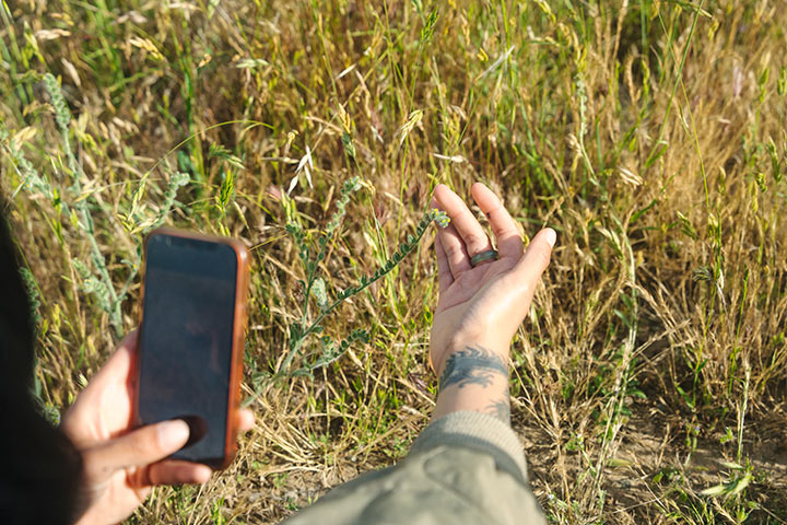
Seek by iNaturalist
Have you ever stumbled upon a living creature in the wild and wondered what it could be? Just point your camera at it, and the Seek app will use image recognition technology to match it to a list of commonly recorded insects, birds, plants, amphibians, fungi and more. The species included in Seek come from a global community of naturalists. How cool is that? Adding to the app’s appeal: the interface is kid friendly!
iNaturalist
If you’re up for a more hands-on, collaborative experience, join the science citizens on the classic iNaturalist app! Upload a snapshot of a plant or animal and engage in conversation about it with local naturalists of all skill levels. Your identification could help supplement community science data and support research on sensitive species. It’s great for recording plants, animals, fungi, geology, animal tracks and more! To date, contributors have identified over 150,000,000 species.
TRAIL MAPS
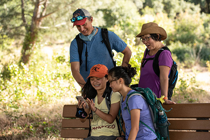
AllTrails
This app helps you to locate and view maps of nearby hikes, bike rides or trail runs. Scan the results for length, rating and difficulty level or use filters to identify paths that are dog- or kid-friendly. The app’s helpful user-submitted reviews are ideal for outdoors enthusiasts who are curious about what challenges or benefits a trail has in store. Then, once you try a route out, you can share tips via your own reviews!
Avenza Maps
Whether you’re hiking, biking, skiing or offroading, use this tool to discover and download maps for your next adventure in nature. This app boasts the world’s largest digital catalog of detailed maps from around the world! Once you’re outdoors, it uses your phone’s built-in GPS to display your precise location, even if you’re out of network range. Feel safer knowing your exact coordinates and easily share that information with loved ones in case of emergency.
CalTopo
If you’re a backcountry explorer, CalTopo is the mapping tool for you. With both free and paid subscriptions, it allows you to make custom maps at home. Its sophisticated features enable users to inform their maps with real-time data about wind, weather, water and snow. If you’re adventuring with a pack of friends, you can collaborate on shared maps in real time. What’s more, users praise its intuitive system for downloading maps for offline use.
OuterSpatial
This app helps ensure that you have up-to-date, accurate outdoor recreation information for your favorite outdoor places. Several local park agencies, such as the Santa Clara Valley Open Space Authority and Midpeninsula Regional Open Space District, contribute maps and other information to the tool. With the right settings in place, you can track your location on OuterSpatial maps even if you don’t have cell coverage.
STARGAZING
Night Sky
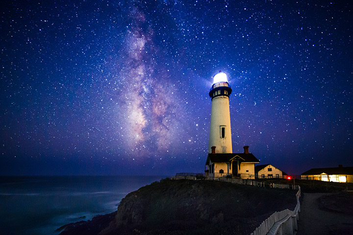
This easy-to-use app includes a real-time map that labels the sky automatically when you move your device. There’s also an augmented reality feature for exploring nebulas, constellations and planets in 3D. A drawback of this popular app is that it is currently only available on Apple devices. There are special features specifically designed for astrophotographers too!
SkyView
This precise stargazing app uses your device’s camera to spot and identify celestial objects. Whether it’s day or night, you can find planets, galaxies and satellites. Click on a star or constellation and see a bevy of fun facts. You can delve deeper too, learning about the celestial body’s position in the sky, history, mythology and astrology. Since it doesn’t require a data signal, it works when you’re off the grid at a remote campsite.
Stellarium
This astronomer-approved app features a vast database of stars. It boasts impressive GPS positioning, and displays an accurate night sky based on your location. Users can use it to identify planets, constellations and moving satellites. They can also learn more about myths and legends about particular celestial objects from various cultures. It connects easily to telescopes and has an exceptional rating in the Google Play Store.
***
I don’t know about you, but I’m eager to hit the trails and take these apps for a spin. With these tools in our back pockets, it’s pretty certain that we’ll be bonafide nature nerds in no time!
Featured
About Post
Peninsula Open Space Trust (POST) protects open space on the Peninsula and in the South Bay for the benefit of all. Since its founding in 1977, POST has been responsible for saving more than 89,000 acres as permanently protected land in San Mateo, Santa Clara and Santa Cruz counties. Learn more


